Survey & Mapping
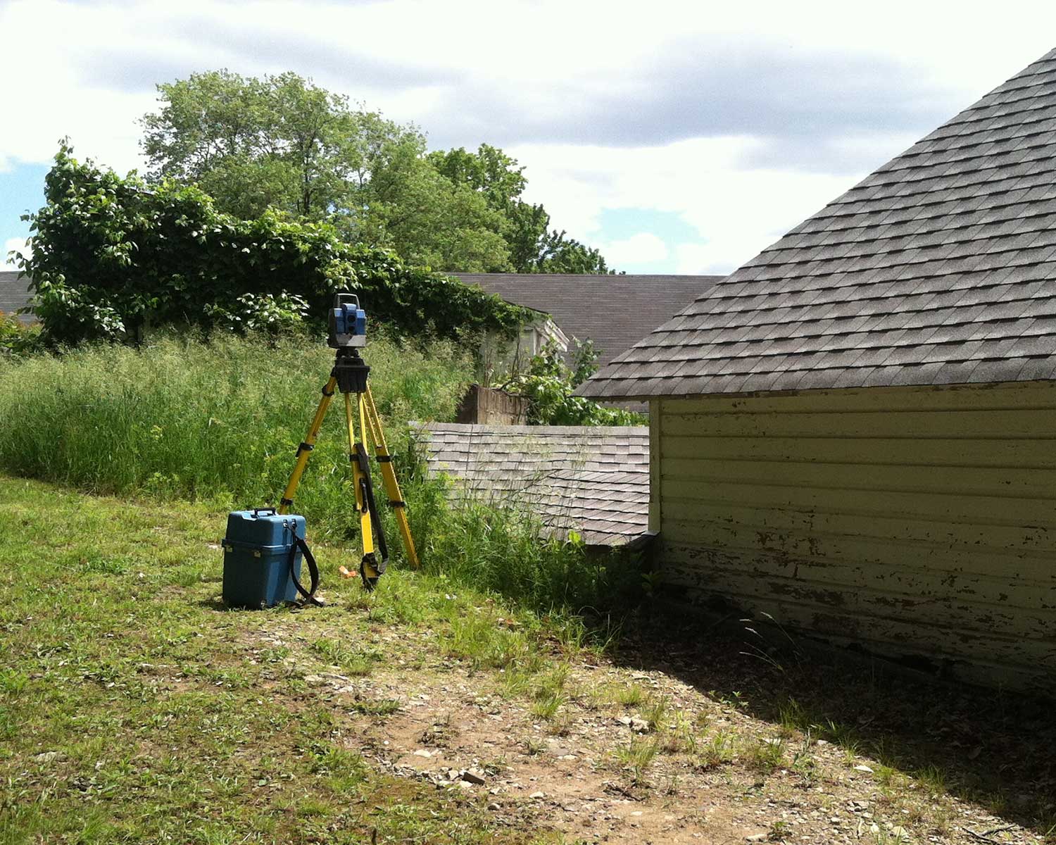
MJS Engineering & Land Surveying, PC surveyors produce maps and data as accurately as possible, ensuring you always know exactly what you are working with.
MJS surveys cover:
• Topographical and Photogrammetric Control Surveys
• Property Acquisition Mapping
• Boundary and Title Surveys
• Wetland Boundary Surveys
• GIS Mapping
• Subdivision Planning
• Rights-of-Way
• Legal Description

